Saturday, April 3, 2010

Ford Canyon White Tank Mountains

We have hiked in the White Tank Mountain Regional Park many times before. It is close to the place we stay at when in Phoenix and it has some nice hiking trails. Previously we have hiked the Goat Camp Trail (7 Miles) and the Water Falls Canyon trail (1-2 miles).

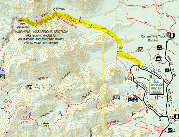
If you look up Ford canyon trail on the map it connects to Goat Canyon Trail at the top of the White Tank Mountains. The round trip is roughly 13-14 miles. Today we are not going to go that far, we are just going to hike up to the abandon dam roughly 3.5 to 4 miles one way or 8 miles roundtrip.

image

We started our hike at about 8:30 in the morning at the trail head in parking spot # 9. Its a mile or 2 around the end of the mountain range to the beginning of the Ford Canyon trail where the hiking gets interesting.

P1011993

With the recent rains in Arizona the wild flowers are in bloom and the beginning of the trail is very colorful.

P1011909

All along the trail the Bluebells are in bloom.

image

About mile marker 2 the flat Horse, Biking, Hiking trail gives way to a more rugged trail restricted to hiking only.

image

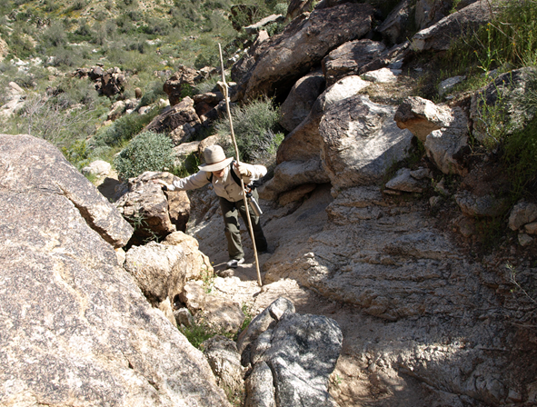
I guess that the previous sign was not kidding about the rugged trail ahead!

image

As we move higher into the canyon there are signs of water and under some rocks we find some Desert Ferns.

image

Around mile marker 4 on the rocky trail pools of water can be seen collecting in low spots.

image

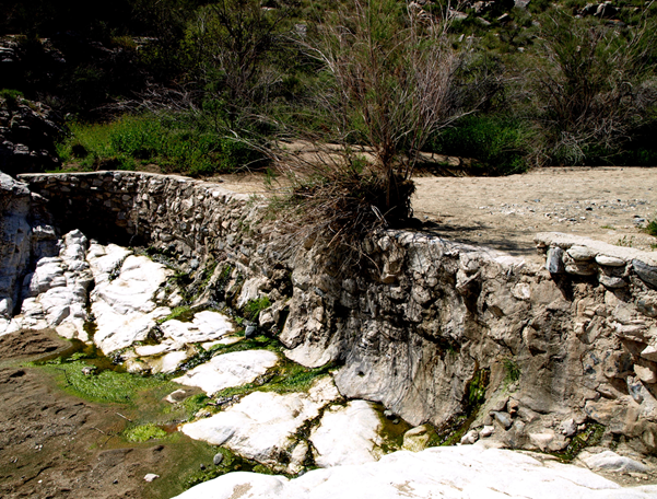
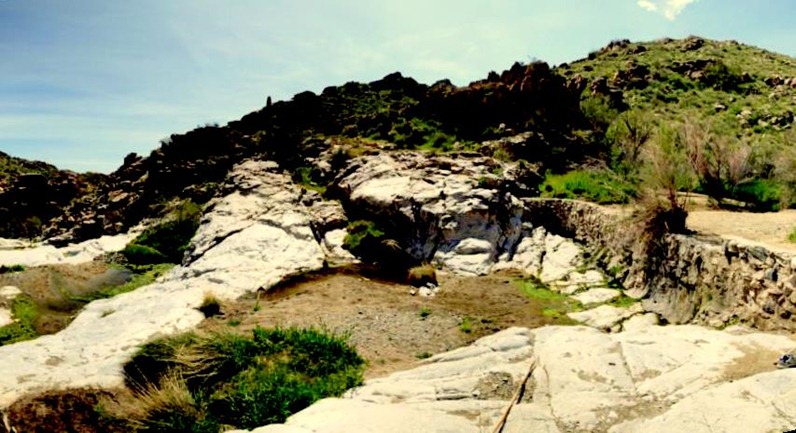
At about 4.5 miles is the old abandoned dam that used to collect water. Now it is all silted in behind the low dam and the water runs over the top during heavy rains

image

Panorama of the abandon Ford Canyon Dampano Ford Canyon Dam
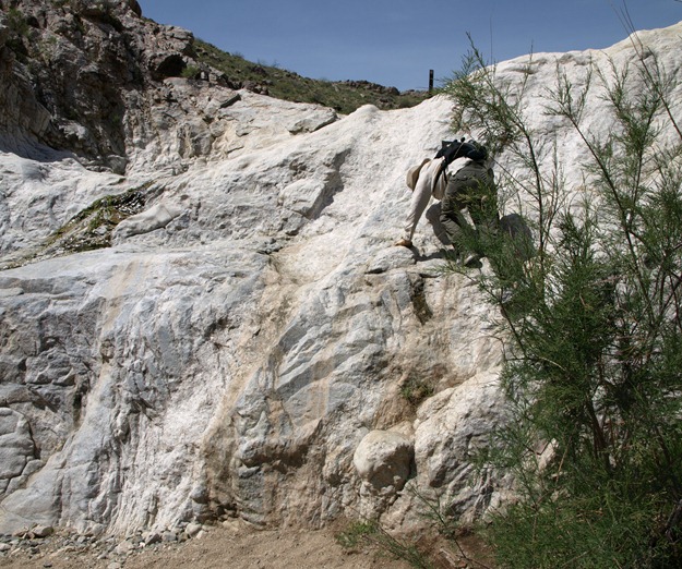
Going up steep rocky faces is all ways easier than coming down and Margaret shows how it is done.

P1011979

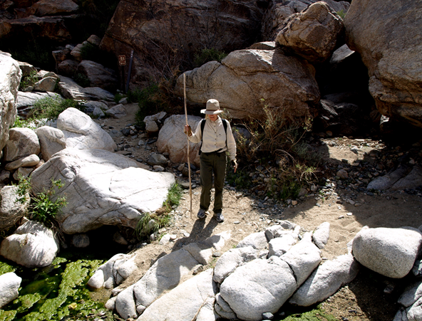
The rock scampering queen takes a break in this shady spot by one of the stagnant pools.

image

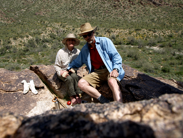
We stopped for lunch on a bluff overlooking the desert floor before hiking out of the canyon on the walk back to the trailhead.

image

We hiked into the trailhead at a few minutes after 1:00PM roughly 4 hours round trip.

Friday, April 2, 2010

Sabino Canyon

image

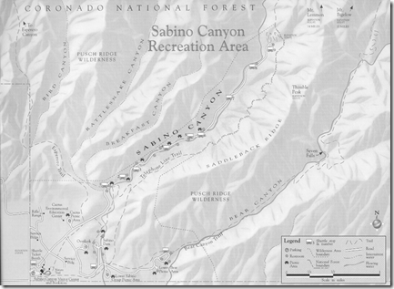
Sabino Canyon in the foot hills of the Santa Catalina Mountains north of Tucson Arizona has been on our list of places to see and hike for years. We tried several years ago to hike there and were thwarted by the park being closed down due to Mountain Lion activity.

The valley is a part of the drainage system for the entire mountain chain. This creates a nearly year around flow of water in the desert which draws all sort of critters to drink, including lots of Mountain Lions.

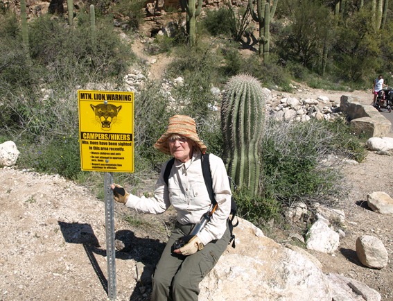
Our hike this year started about 9:00 AM in the morning from the parking lot of the visitors center. Near the entrance to the park is a sign warning of the frequent sighting of Mountain Lions, and while it doesn't say it on the sign I know that a Mountain Lions favorite meal is “Irish Rump Roast”. This was on Margaret’s mind all day as we hiked!

P1011690

Years ago you could drive a car into Sabino canyon, but in the 1970 they closed it to public traffic and now the only way to get to the top of the canyon is walk the 3.8 miles one-way or take the park trams for $8 per person. Since the point to this trip was hiking we opted to walk and took the back trails into the foothills and soon came upon the Sabino canyon dam.

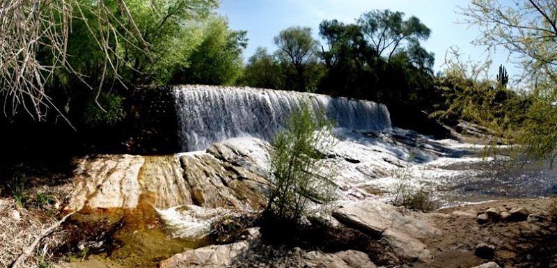
Panorama of the Sabino Canyon DamSabino Falls Pano

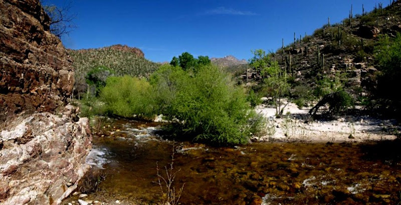
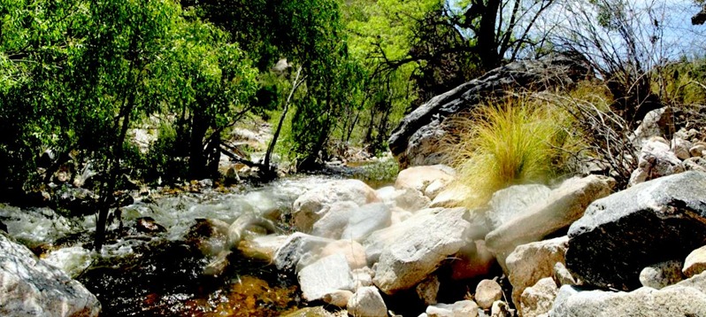
Just up stream from the dam as you move further up into the canyon is a seldom seen beautiful scene of desert landscape and clear, clean water flowing over the pebbled creek bed.

Panorama of the Sabino Creek above the DamSabino Creek Pano

After a couple of miles following the river trials we ran into the tram road the leads to the top of the canyon.

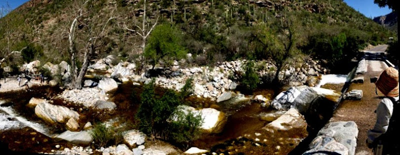
While the tram road didn’t have the solitude of a desert trail the beautiful stream enticed us to follow it further up the canyon. Following the tram road we crisscrosses the river several times as it winds it way up the canyon. With all the recent rain in Arizona this winter the river is overflowing the tram trail in several places and required wading through the water to proceed.

P1011768

Panorama of the Sabino Creek overflowing the Tramways

Margaret and bridge pano

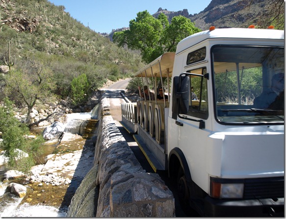
As you walk up the tramway trail towards the top of the canyon you have to watch closely for trams! There is not enough room on the bridges for people and trams at the same time!

P1011760

Panorama of the Sabino Creek overflowing the Tramways

Sabino 1st Bridge pano

About 5 or 6 miles into the hike we came to a small waterfalls that seemed like a great place to take a break and observe the water while relaxing the sore feet.

P1011812

The clear, ice cold water refreshes your feet after a few miles in hot hiking boots.

image

So far Margaret has avoided being a Mountain Lion snack, but there are still several miles to the top.

P1011814

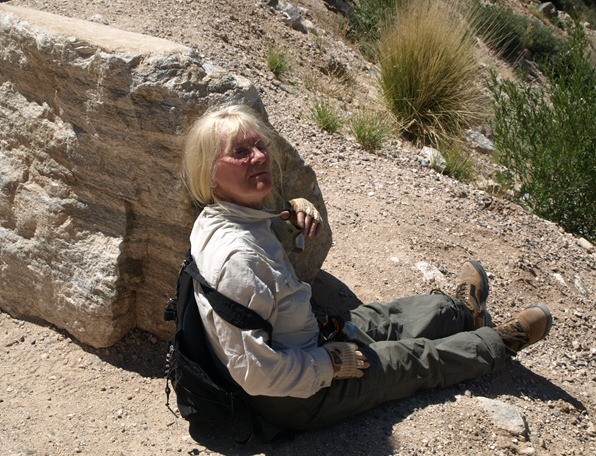
Finally at the top Margaret finds a small spot of shade behind the rock for a brief rest before turning around and heading back down.

P1011836

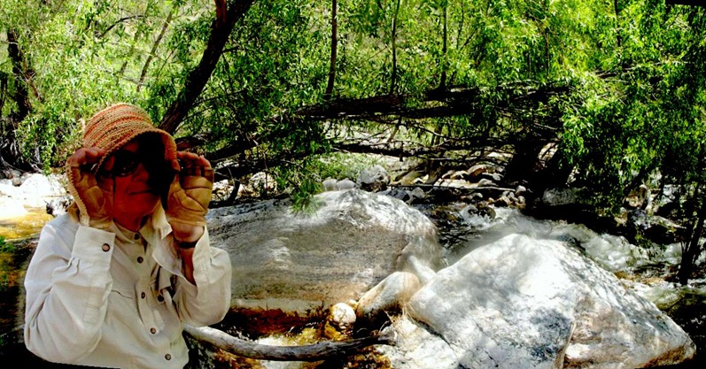
About halfway back down we found a nice shady spot to have lunch and cool our feet in the stream again.

Sabino lunch 2 pano

Panorama of a cool shady lunch spot

Sabino Lunch pano

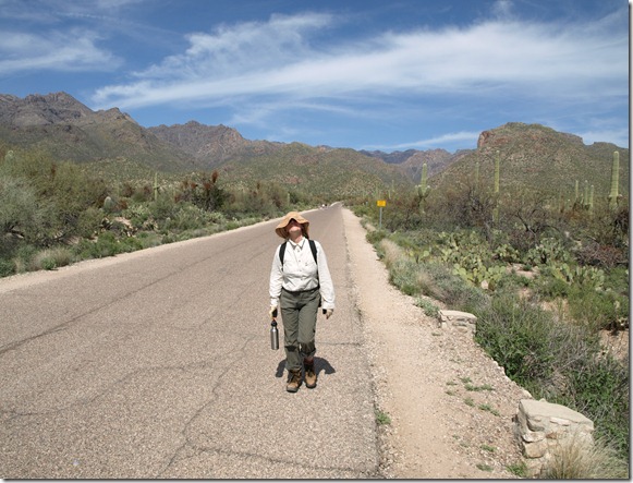
The last mile of our 9 mile hike into Sabino Canyon is out on the desert floor far away from the cool stream and valley and seems to take forever.

P1011886

About 3:00PM we made it safely back to the parking lot and avoided being Mountain Lion fare, so the cats will have to go hungry for another day.